National Mapping’s National Time Service
Introduction
Universal Time Coordinated-Australia (UTC(AUS)) is Australia's ultimate legal reference for the time of day.
Time was accepted as an Australian legal unit of measurement on 30 June 1997 by an Amendment to the National Measurement Act 1960. Section 8AA of this Act requires the Chief Metrologist to maintain Australia's version of Universal Time Coordinated (UTC) and this function was delegated to the National Measurement Institute in Sydney. The National Measurement Institute (NMI), is today a division within the Department of Industry, Innovation and Science. One of NMI’s roles is to maintain and disseminate Australia's standards of time interval (the second) and frequency (the Hertz) and Australia's legal time scale UTC(AUS).
For this purpose, the National Measurement Institute maintains four commercial primary caesium (Cs) frequency standards, which provide a realisation of the SI definition of the second being the duration of 9,192,631,770 periods of the radiation corresponding to the transition between two hyperfine levels of the ground state of the Cs 133 atom. Even though atomic clocks generate seconds with such a high accuracy no one specific device has been identified as that generating THE atomic second. Rather a large number of atomic clocks have their seconds averaged to endeavour to get the best result for THE second. Such a process also allows for atomic clocks to be removed or added without any effect on the overall result.
The output of one of the National Measurement Institute's caesium atomic clocks is designated UTC(AUS). UTC(AUS) is continuously compared with atomic clocks in primary timing laboratories in other countries, and also with UTC using signals from GPS satellites. UTC(AUS) is adjusted periodically so that it differs from UTC by no more than 1 microsecond, and the difference between UTC(AUS) and UTC is known with an uncertainty of less than 200 nanoseconds. A microsecond is one millionth of a second and a nanosecond is one thousand millionth of a second.
Between 1971 and 1998 however, the responsibility for the maintenance and dissemination of time for Australia rested largely with National Mapping. Dr John Luck’s Technical Report 32 for Natmap, Construction and comparison of Atomic Time Scale Algorithms : with a brief review of time and its dissemination, provides more detail.
Natmap’s National Time Service
On 27 September 1971 National Mapping took over positional astronomy and time service activities from the Australian National University (ANU). The maintenance of an atomic time standard, determination of Universal Time (UT), and the recording of latitude variation were important to the national and international communities. This information was regularly transmitted to the Bureau International de l'Heure (BIH-International Bureau of Time in Paris) and the International Polar Motion Service (IPMS). These data were used for relating to other time and frequency standards in Australia and overseas, measuring variations in the rotation of the earth, and for investigations into continental drift.
Initially, the time scale UTC(AUS) was based on the simultaneous monitoring of TV synchronisation pulses. However, during 1973-74 Natmap cooperated with United States’ authorities in a series of experiments for the transfer of time via the Timation-2 satellite during five periods of twenty days each. These experiments were the first of their kind and significantly reduced the synchronisation error between major time keepers and users.
The Timation satellites were conceived, developed, and launched by the Naval Research Laboratory (NRL) in Washington, DC beginning in 1964. The concept of Timation was to broadcast an accurate time reference for use as a ranging signal to receivers on the ground. On 31 May 1967 the Timation-1 satellite was launched. This was followed by the Timation-2 satellite launch in 1969.
The Timation program can be traced back to 4 October 1957, when the then USSR launched Sputnik, the first artificial satellite to orbit the Earth. Two American researchers determined Sputnik's orbit simply by measuring the Doppler-induced changes in the frequency of the simple radio signal that the satellite transmitted. Several years later, a system was being sought that would allow the United States submarine fleet, carrying Polaris nuclear missiles, to keep precise track of their locations. The realisation was that it could be done by reversing the approach used for Sputnik. That was, by measuring a radio signal from a satellite whose position was known, a submarine could determine its own position. Formally known as the Navy Navigation Satellite System (NNSS) the program began in 1958.
The NNSS program’s first satellite TRANSIT-1A failed after launch on 17 September 1959 so TRANSIT-1B, launched on 13 April 1960, was the first TRANSIT satellite to achieve orbit and operated for 89 days. A series of TRANSIT satellites followed with varying success; 2A, 2B (never built), 3A, 3B, 4A, 4B, 5A-1, 5A-2, 5A-3, 5C-1. TRANSIT 5BN-2 was launched on 5 December 1963 and became the first operational navigation satellite. It was used regularly by both surface and submarine units of the US Navy until November 1964. From then on at least one satellite has been operational for routine use by the US Navy. TRANSIT evolved to five satellites broadcasting two different tones. The use of two tones allowed the system to compensate for variable signal delays that occurred in the ionosphere. It took the submarines up to ten minutes to get a fix, which was accurate to within 25 meters.
The US Naval Research Laboratory and the Space and Missile Systems Organization of the US Air Force however, favoured different satellite navigation systems. The naval laboratory supported the Timation program, which used high precision crystal-based clocks to provide both accurate position and precise time measurements to ground observers. The time measurements improved the system by allowing more precise determinations of the satellite location and lengthening the time between required position updates. In 1973, the Timation program evolved into the NAVSTAR GPS program. The Naval Research Laboratory’s Timation-3 satellite was redesignated the NTS-1 (Navigation Technology Satellite 1) and was launched in the summer of 1974 in connection with the NAVSTAR effort. NTS-1 had two rubidium-vapor frequency based clocks, while the earlier Timation satellites had carried high performance crystal oscillator clocks. This technology, which became commercially available in 1973, would eventually lead to the global positioning system (GPS) we know today.
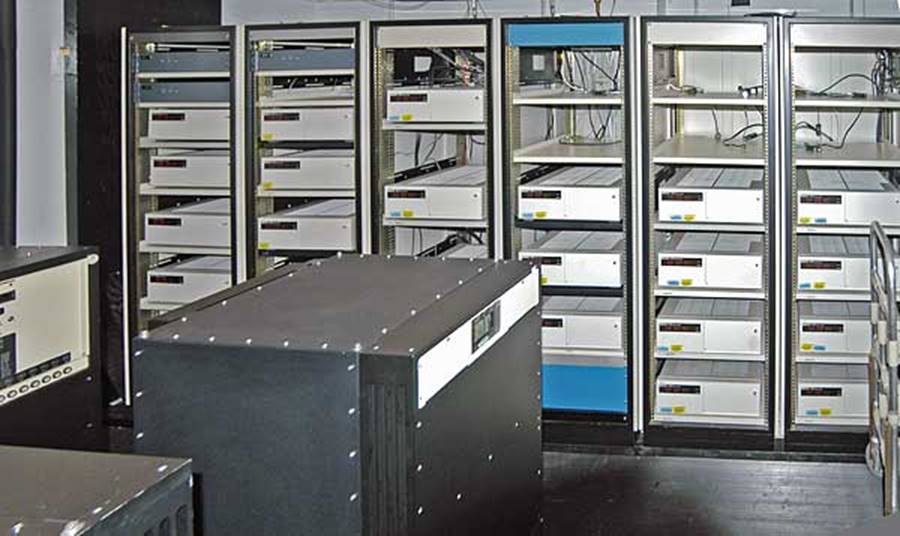
In October 1974, after the necessary equipment had been installed at Natmap’s facility at Orroral, by the United States Naval Research Laboratory, satellite time transfers by way of Timation-3 (NTS-1) began. These time transfers were expected to provide sub-microsecond comparisons with the United States Naval Observatory (USNO) and the Royal Greenwich Observatory (RGO). In April 1977, Natmap received an additional standard (Cs 1109) on loan from the US Naval Research Laboratories. The ensemble at Orroral then consisted of four caesium and three rubidium standards: Cs 153, Cs 205, Cs 590, Cs 1109, Rb 255, Rb 311 and Rb 322. All seven of Natmap’s atomic clocks were now read and compared hourly by computer and the Timation-3 satellite time comparisons with United States Naval Observatory were also made by computer.
The master atomic clock ensemble at the United States Naval Observatory in Washington, D.C., in 2008, which provides the time standard for the US Department of Defense. The rack mounted units in the background are Symmetricom (formerly HP) 5071A caesium beam atomic clocks. The black units in the foreground are Symmetricom (formerly Sigma-Tau) MHM-2010 hydrogen maser standards.
Comparisons with the United States Naval Observatory through the Timation-3 satellite, by a portable clock comparison with SATCOM-derived United States Naval Observatory time at Woomera, and by a NASA portable atomic clock, confirmed UTC(AUS) to better than 1 microsecond in 1977. Atomic clocks in Melbourne, Adelaide, Woomera, Alice Springs, Brisbane and Sydney were also being compared with UTC(AUS) by the way of Natmap’s portable atomic clock.
By 1978, Natmap was maintaining two fundamental time scales UTC(DNM) and UTC(AUS) so that satellite observations, scientific observations, and TV and other communications networks could be coordinated throughout Australia and overseas. UTC(DNM) provided an accessible, real-time, reliable time scale for Natmap’s own observatory related operations. On the other hand, UTC(AUS) was determined from some 30 atomic clocks located throughout eastern and central Australia which were intercompared daily by TV.
Recipients of Natmap’s time service then included :
|
Department of Defence |
Guided Weapons and Electronics Support Facility |
|
|
Navy Office - numerous locations |
|
|
Air Force Office, Richmond Air Force Base |
|
National Aeronautics and Space Administration |
numerous locations |
|
Woomera |
Trials Division |
|
|
Nurrungra |
|
Joint Defense Space Research Facility |
|
|
Salisbury Defence Research Centre |
|
|
Naval Communication Station - HE Holt |
|
|
Telecom, Adelaide |
|
|
Telecom Research Laboratories, Melbourne |
|
|
CSIRO - Division of Radio Physics and National Measurement Laboratories |
|
|
Anglo-Australian Telescope, Siding Springs |
|
|
Sydney Observatory |
|
|
University of Queensland |
|
|
Hewlett Packard Australia Pty Ltd |
|
Between July and September 1978, a cooperative project for a sub-microsecond time transfer took place with institutions involved in Earth Rotation, being; the National Research Council of Canada; the Royal Greenwich Observatory in England; Bureau International de l'Heure in France; Institute for Applied Geodesy of West Germany; and Goddard Space Flight Centre, National Bureau of Standards, Naval Research Laboratory and the Naval Observatory in the United States.
Natmap continued to compute and disseminate the precise national time scale UTC(AUS), based on the monitored performance of an ever increasing number of atomic clocks in Australia. By 1982-83 these clocks now included three hydrogen masers. With the 1984 introduction of sub-microsecond precision, satellite time transfer, the Australian atomic clock network now contributed directly to the computation of global atomic time scales by the Bureau International de l'Heure. It was now possible to continuously monitor the performance of the Australian time scale with respect to the international time scale with better than 0.1 microsecond precision. This accuracy now being required for a wide variety of activities ranging from radio astronomy to satellite tracking and navigation.
In early 1986, the Australian Broadcasting Corporation (ABC) abandoned its quasi-national terrestrial television networking system in favour of satellite broadcasts from the domestic satellite AUSSAT. Since the ABC-TV broadcast had been the principal time transfer link between Natmap and the other UTC(AUS) users, some modification to procedures was required. The time transfer system would now use local TV broadcast to tie together precise clocks within a city or region, and the GPS navigation satellites or AUSSAT would be used between cities and regions. Thus all Australian atomic clocks could now be directly connected to Natmap. The new system introduced in July 1987, allowed for the first time, users to access UTC(AUS) anywhere in Australia. The GPS satellite constellation continued to be used as the prime means of international time transfer, as well as for strengthening domestic time transfer.
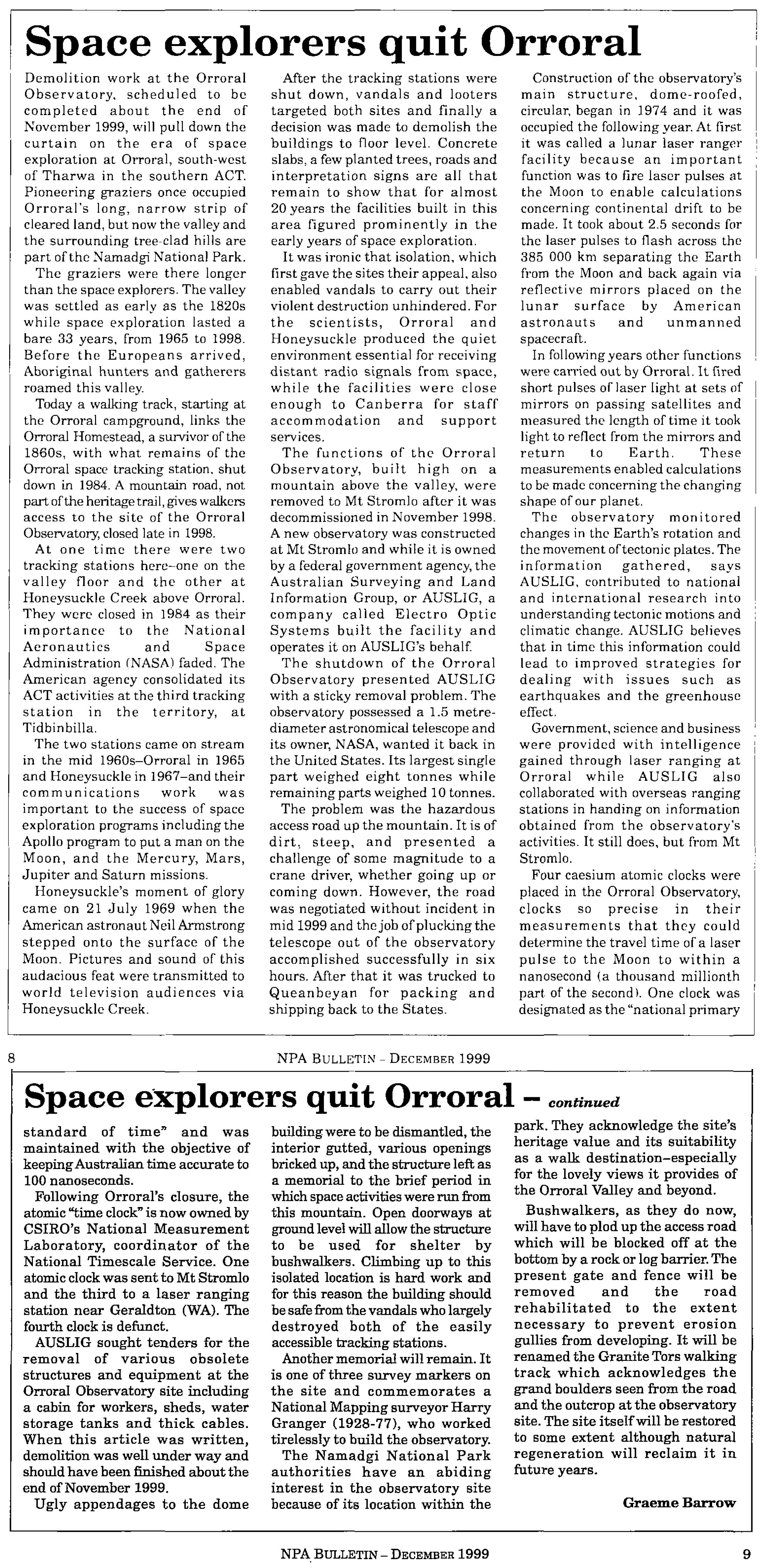
From 1974 until 1998 the Geodetic Observatory at Orroral Valley, ACT housed Natmap’s atomic clocks. In 1998 however, the Orroral Valley facility was closed and activity focussed at Mt Stromlo. National Mapping’s 1973 Technical Report 15, Photographic Zenith Tube Observations at Mount Stromlo, provides more detail on the use and monitoring of time for geodetic activities at Orroral.
Responsibility for civil time was assumed by the National Standards Commission (NSC) in 1993, in preparation for a National primary standard of legal time under the National Measurement Act. By arrangement with the National Standards Commission, the Australian Surveying and Land Information Group (AUSLIG), Natmap’s later identity, maintained a defacto primary time standard as from 1 January 1994, and coordinated the relationship between Australian atomic clocks and International Atomic Time/Universal Coordinated Time promulgated by the International Bureau of Weights and Measures UTC(BIPM). AUSLIG administered this responsibility for NSC by utilising the contributions of up to 20 Australian atomic clocks through daily GPS Time comparisons, while up to 50 such clocks were linked to the time scale UTC(AUS). Weekly atomic clock comparisons were made between Tidbinbilla outside Canberra and Goldstone in the USA, by Very Long Base Line Interferometry (VLBI) within the National Aeronautics and Space Administration, Deep Space Network.
The National physical standard, known as UTC(AUS), was kept by a HP5071A Cesium Standard at AUSLIG’s Orroral Observatory until 1 September 1998. Under its agreement with the National Standards Commission, AUSLIG had maintained UTC(AUS) to within 1 microsecond of UTC(BIPM) at all times.
Compiled by Paul Wise, January 2016.
Sources
Barrow, Graeme (1999), Space Explorers Quit Orroral, National Parks Association (ACT) Incorporated, December Bulletin, Vol.36, No.4, pp.8-9.
Danchik, Robert J (1998), An Overview of Transit Development, Johns Hopkins Applied Physics Laboratory Technical Digest, Vol.19, No.1, pp.18-26, accessed at : http://techdigest.jhuapl.edu/td/td1901/danchik.pdf
Fisk, Peter (1997), Time and Frequency Metrology in Australia : The Role of the CSIRO National Measurement Laboratory, pp.277-282, accessed at : ftp://time.nmi.gov.au/pub/publications/MSA97.PDF
Luck, John McK (1983), Construction and comparison of Atomic Time Scale Algorithms : with a brief review of time and its dissemination, Technical Report 32, Division of National Mapping.
Luck, John; Dunkley John; Armstrong, Tim; Gifford, Al; Landis, Paul; Rasmussen, Scott; Wheeler, Paul; Bartholomew, Tom; Stein, Sam (1991), A Proposed Time Transfer Experiment between the USA and the South Pacific, pp.351-363, accessed at : http://tycho.usno.navy.mil/ptti/1991papers/Vol%2023_32.pdf
Luck, J McK, Harvey, I K, Harris, R W, Harvey, G G (late 1980s), Status of Activities and Plans for Precise Time Comparisons in Australia, publication status unknown.
Miller, Malcolm John (1973), Photographic Zenith Tube Observations at Mount Stromlo, Technical Report 15, Division of National Mapping.
Stanford University News Service (1995), A brief history of satellite navigation, News Release of 06/13/95 accessed at : http://news.stanford.edu/pr/95/950613Arc5183.html.