 Recollections 36 years on..
“Antarctic Survey 1975/76” from Carl McMaster
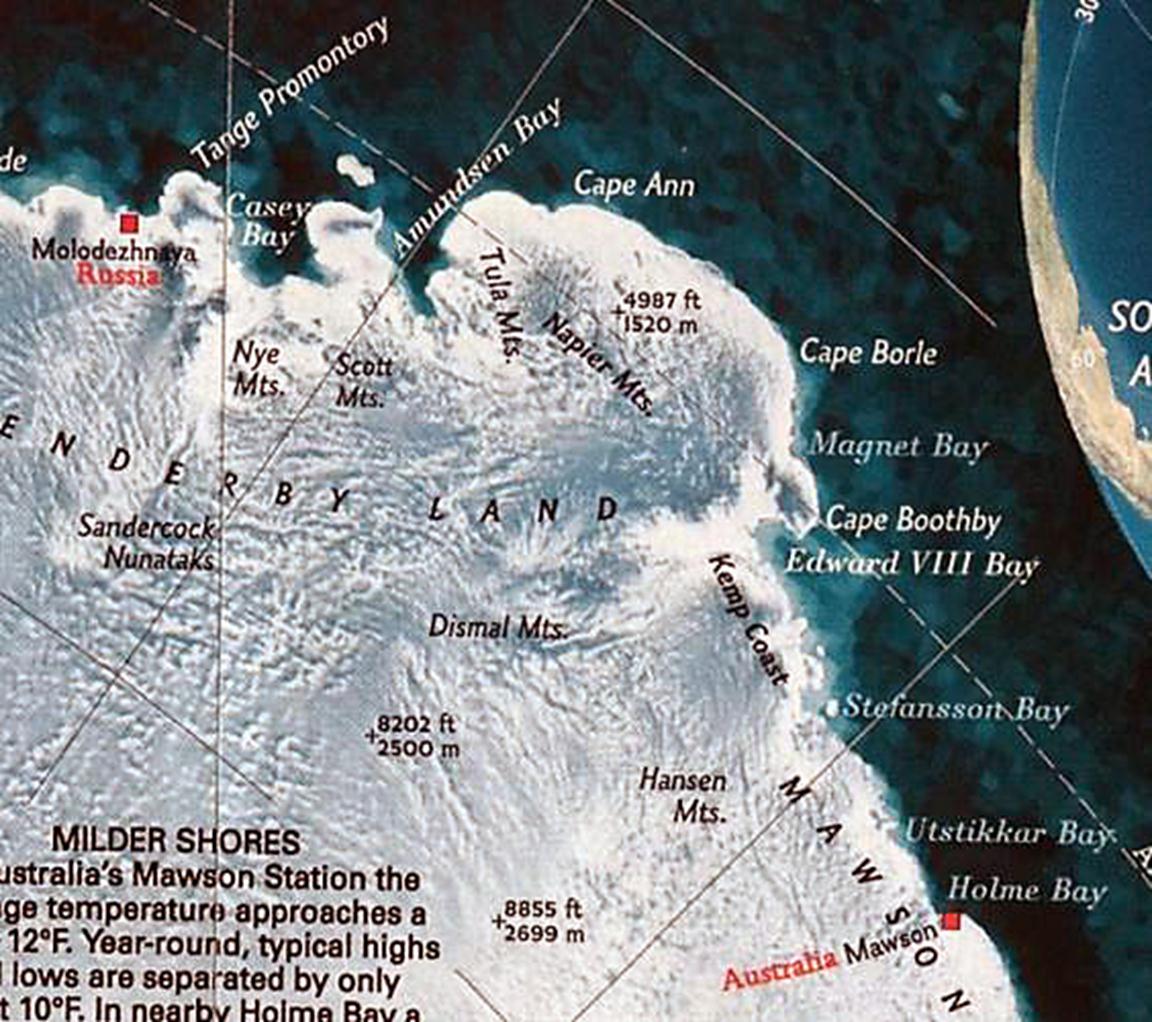
Natmap’s summer programme in Antarctica in 1975/76 began with the sailing of the Nella Dan from Melbourne in early December 1975. On board John Manning led another four Natmappers, Andrew Greenall, Mick Morgan, Oz Ertok and myself. The task was to establish ground control by continuing the Enderby Land traversing from the field base at Mt King through to the Russian base at Molodezhnaya and return by a different route. In addition Mick and Oz would fly systematic photography from a Pilatus Porter aircraft from the Mt King field base. The three traversing parties were supported by three helicopters chartered from Vowell Air Services (Helicopters Pty Ltd) from Tyabb with the senior pilot Vic Barkell who was well known to us from fieldwork in Australia with Jayrow Helicopters. The Nella arrived at the ice edge offshore from Mawson on Christmas eve and began the task of offloading and assembling the Porter on the ice alongside the ship.
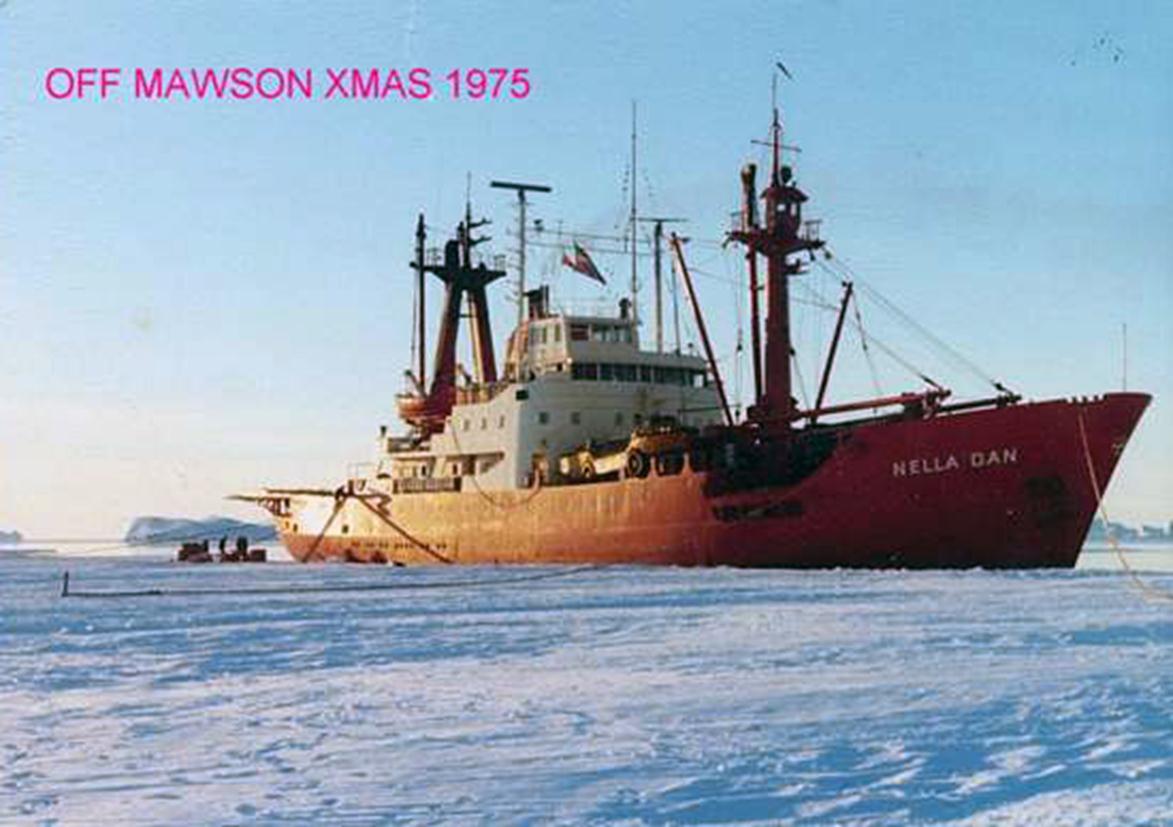
Meanwhile a chopper flew the mail to the wintering Mawson party. Fortunately the ship was able to land the summer party within a couple of days where our gear was ferried ashore, checked and flown to Mt King some 400kms west of Mawson. John was anxious to get on with the work and Mick and I were immediately flown to inspect the existing survey mark on Mt King. On return John waved towards the west and requested that my partner Peter Hill, a wintering geophysicist from the BMR and myself fly off to the west into the whiteness and locate and establish a point visible from Mt King. So the traverse began with tellurometers and Wild T3 theodolites plus a JMR recording data from the Transit orbiting satellites (a forerunner to the current GPS system), at some stations for later processing. Several weeks later Peter and I camped on our last station within sight of Molodezhnaya, were overflown by officials from Mawson for the Russian formalities. Peter and I managed half a day at the Russian base where around 100 or so Russians had been isolated for more than a year, before flying out to locate the first station of the return traverse close to the coastline.
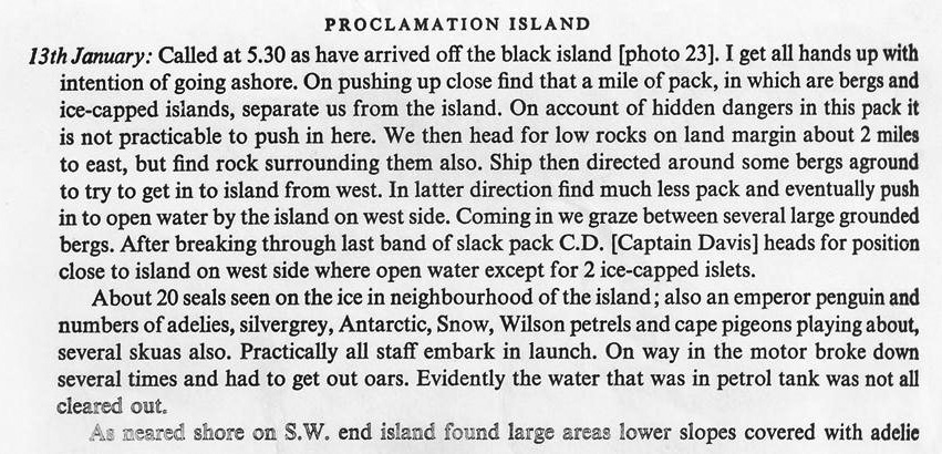
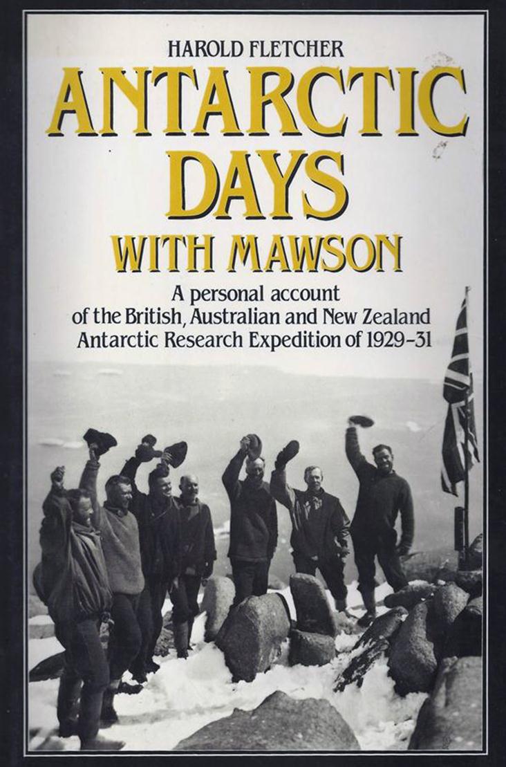
The highlight was finding, photographing and leaving on site, Mawson’s written record of his occupation of Proclamation Island in January 1930 where he claimed possession of this part of Antarctica in the name of the King. Next field season the proclamation was retrieved by a party from Mawson and is now at the National Library in Canberra (ex Harold Fletcher’s book ‘Antarctic Days With Mawson” Angus and Robertson, 1984).
The following is from Mawson’s Diary:
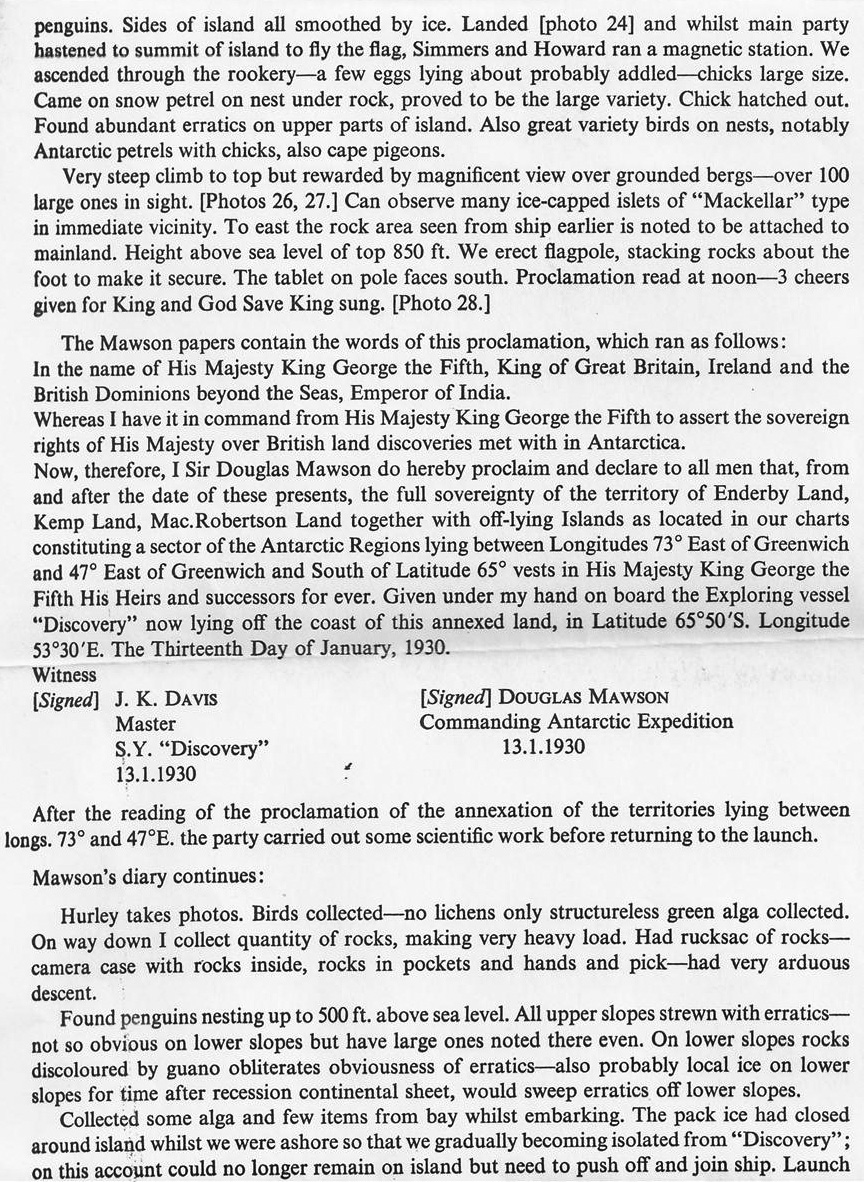
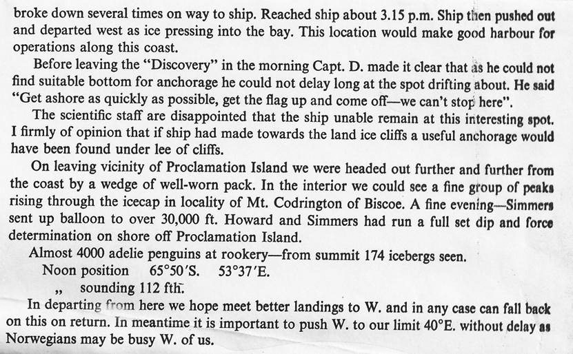
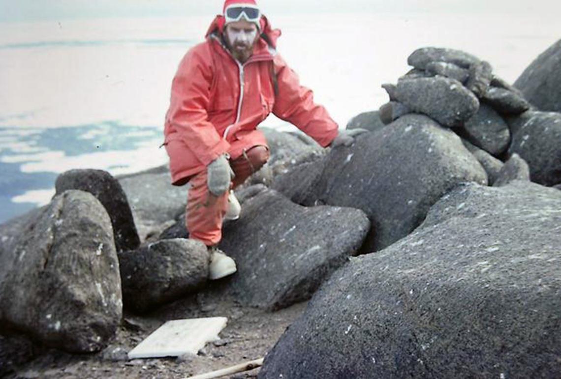
January 1976 photo : “A square of hardwood was then attached to the pole on which Hurley had beautifully carved – The British Flag was hoisted and British sovereignty asserted on 13th Jan 1930. “
(see Fletcher’s Book cover below where the rock locations are identical.)

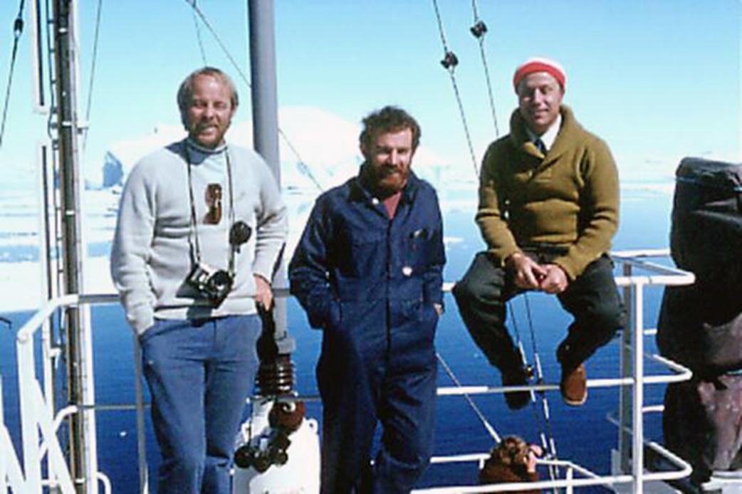
John Manning, Carl McMaster, Ozcan Ertok

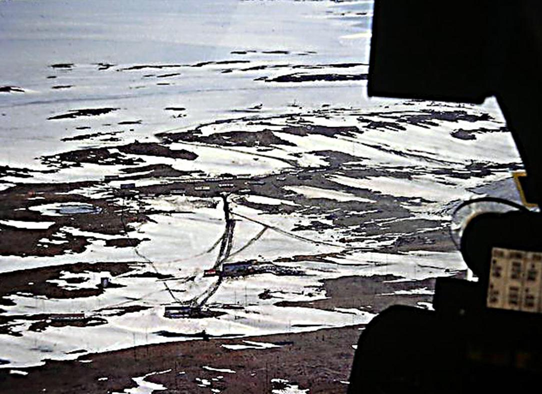
Mount King base camp
Lower photo : Mt King base camp L
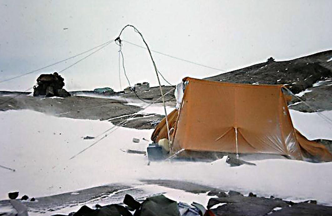
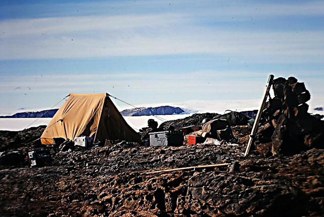
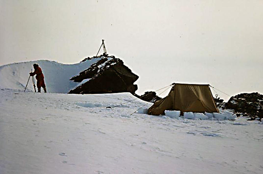
Typical survey camps Enderby Land 1975/76
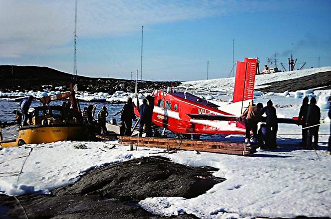
Pilatus Porter, wings off being loaded on barge alongside Larc for transfer to the Nella Dan ( in background ).
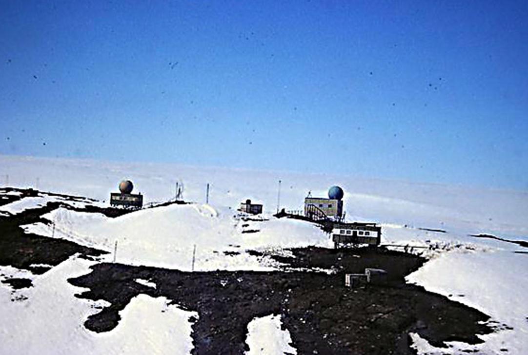
Mount Breckenridge survey camp
Flying into Molodezhnaya
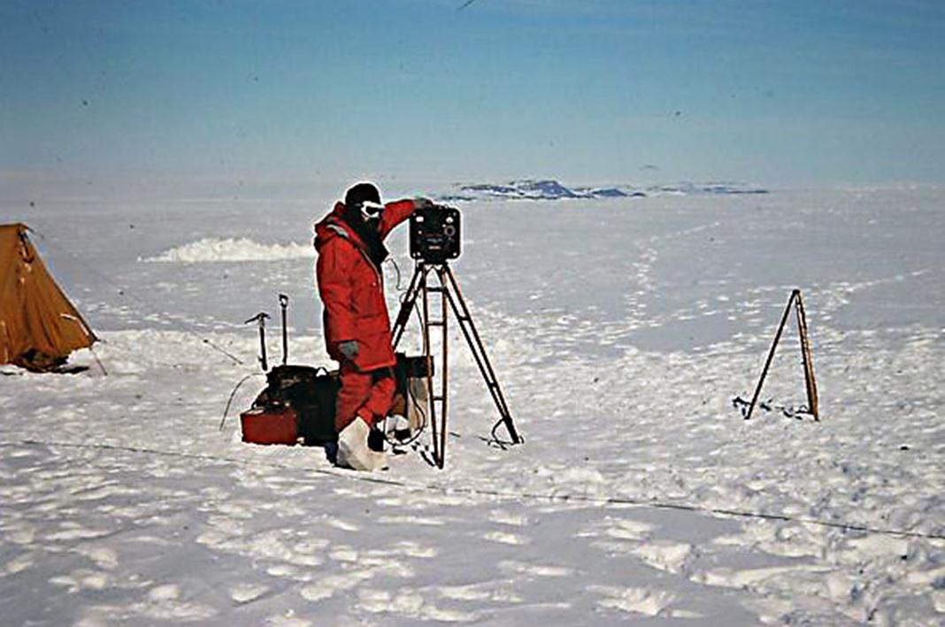
Carl with Tellurometer
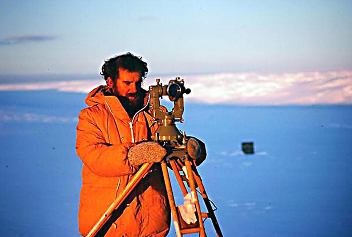
and with theodolite