|
| Home |
| People |
| Photos |
| Operations |
| Products |
| Videos |
|
National Mapping or other agency survey stations
- MOORKAIE and Related Trigonometrical Points 60 Years On reveals that while Moorkaie, Nat Map's first cairn over a ground mark built in 1954, still exists some surrounding cairns have been replaced. The original end points of the 1954 Nat Map base line for this section of the geodetic survey of Australia appear to have also been upgraded and monumented by the relevant New South Wales state authority.
- Over fifty years ago an insignificant rocky outcrop in the Northern Territory became the first calculated origin and centre of Australia. This location was then marked by a specially constructed rock cairn in which was set a bronze plaque indicating that this point was the Johnston Geodetic Station, also sometimes called the Johnston Origin. This article explains the importance of this point in Australia's survey and mapping history.
- Establishing an Aerodist ground mark was part of the video (no audio) acquired during the 1969 Groundmarking for Aerodist field season by Oystein Berg.
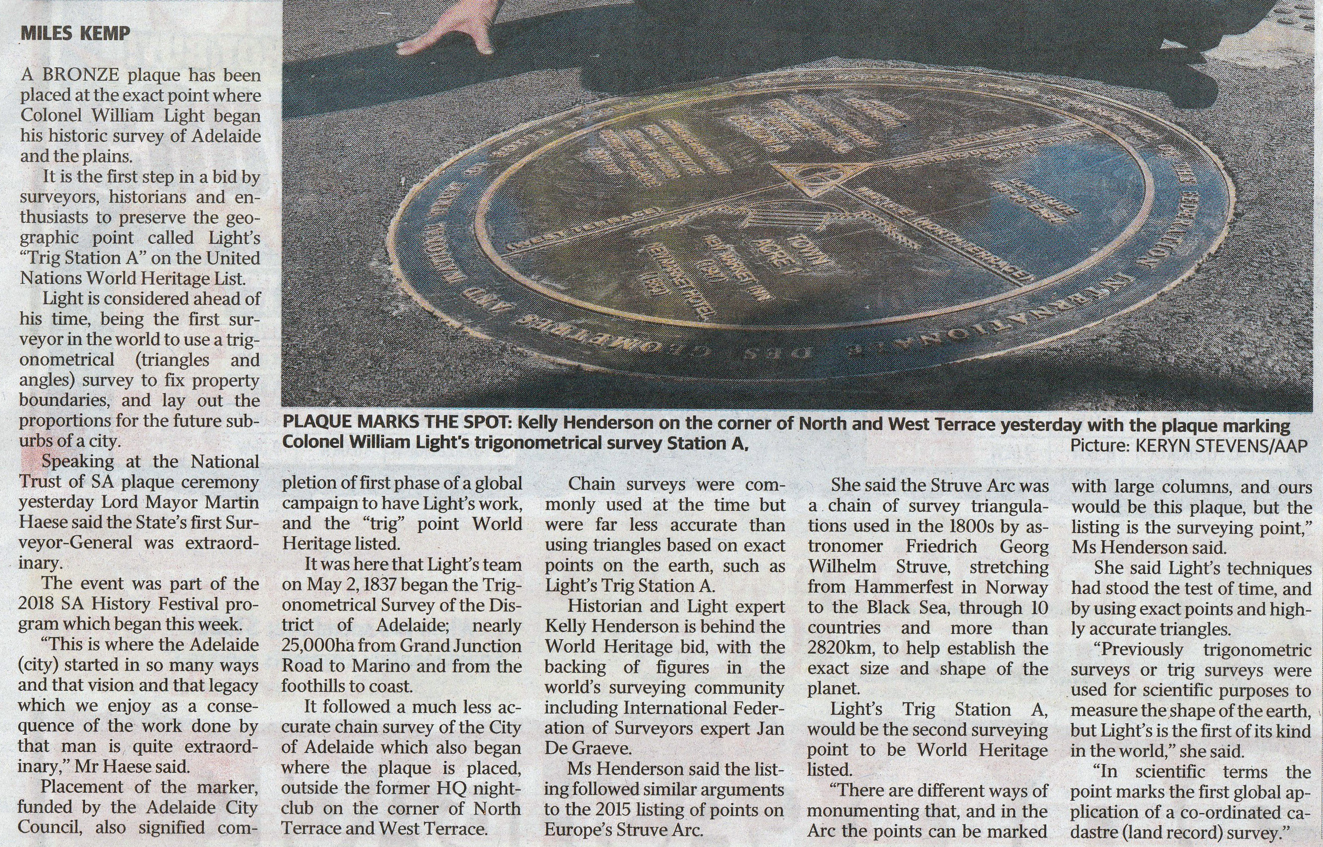
- Marking of Colonel William Light's Trig Station A courtesy Bill Stuchbery
- A Bronze Age trig in France, Menhir de Kerloas photographed in 2016 by Bill Stuchbery.
- Revisited Survey Marks
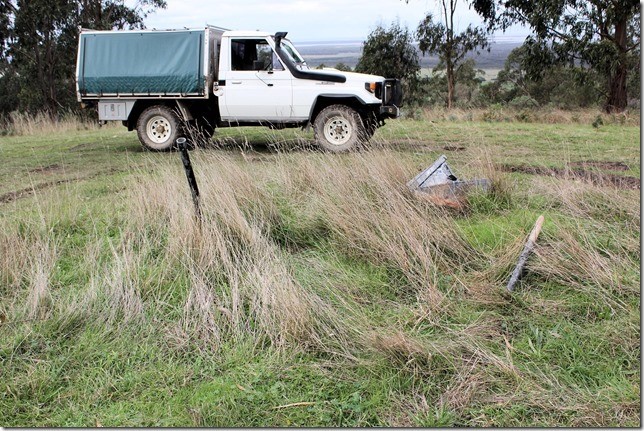
- NMF 206 on Mount Ford, Western Australia, July 2019. Mount Ford was named in honour of National Mapping's Reginald Arthur (Reg) Ford who on 1 January 1968 was awarded the Medal of the Order of the British Empire (Civil) (BEM-(C)) for meritorious service (for his national mapping effort; particularly to the national geodetic survey).
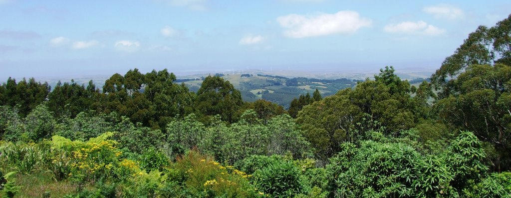
- Deal Island is the largest of the Kent Group of islands in Bass Straight. In the early summer of 1952 and later in early 1953, Deal Island was occupied by National Mapping's Reg Ford and an assistant to undertake the Bass Strait Triangulation which linked the geodetic surveys on the mainland with those on Tasmania. During this survey, the line Deal Island back to Mount Fatigue, Victoria, was the longest observed at almost 84 miles (130 kilometres approximately). Now living outside of Yarram, Victoria, ex-Natmapper Laurie Edebohls became interested in this bit of history and arranged a flight over Deal Island in July 2017. This short (about 3 minutes) video (no audio) was acquired by him during the flight.
Laurie also visited Mount Fatigue view to Bass Straight from trig) and Gelliondale trigs used for the Bass straight survey.
- National Mapping Aerodist survey control station NMC 40 is located on the side of the Sturt Highway to the east of Hay in the Riverina district of New South Wales. This survey station was revisited in July 2015. Revisits to NM/C/131 outside of Dubbo, New South Wales, and NM/B/337 outside of Goondiwindi, Queensland, have also now been documented.
- NATMAP SURVEY BEACONS (NMF 198, 199, 201, 203 and 210) IN GOOD CONDITION AFTER 46 YEARS by Laurie Mclean with additional material by Paul Wise.
- NMG 56 - its condition after standing against the elements of the Tanami for some 53 years.
- During their travels Bill and Fiona Stuchbery revisited several stations occupied for Aerodist line measuring operations in 1973, notably NMD 24 and 26. This article describes the current condition of the stations visited.
- NMD 25 : The Last Natmap Cairn.
|
|