|
| Home |
| People |
| Photos |
| Documents |
| Videos |
|
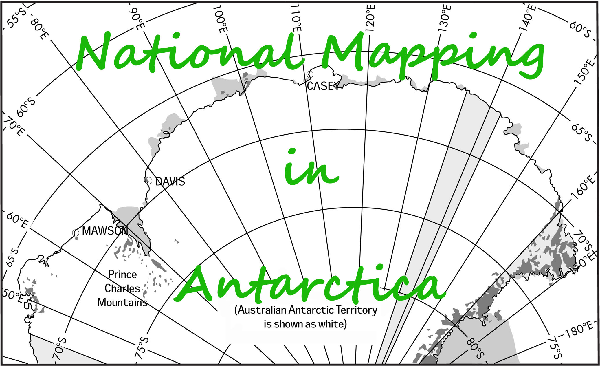
Australian Antarctic Territory Operations
Operational papers, reports and recollections by year
The Australian Antarctic Data Centre (AADC) already holds a number of other survey reports, many by Natmappers,
these reports may be viewed via this link.
- Bob Dovers wintered at Mawson and was officer-in-charge during 1954, undertaking exploration from the Mawson base to the east, west and south. His available Field Trip Reports, including daily journals, may be viewed via this link.
- Australian National Antarctic Research Expedition, 1955, by Phillip Garth Law (1956), The Geographical Journal, The Royal Geographical Society (with the Institute of British Geographers), Vol.122, No.1, pp.31-39.
- Airborne Heighting during Australian National Antarctic Research Expedition (ANARE) 1960, paper by Sydney Lorrimar Kirkby (1963), Australian Surveyor, Vol.19, No.8, pp.439-449.
- Report by Phillip Garth Law of the 1962 Voyage of MV Thala Dan to Wilkes and Oates Land. Natmap's Syd Kirkby was the expedition's surveyor and Tom Gale was the expedition's hydrographer.
- From January 1962 to February 1963, David Carstens was the surveyor based at Mawson. During his time in Antarctica David was involved in a number of projects. A summary of his work may be viewed via this link which not only contains links to the following projects but also puts them into the context of that year's work program :
- The first use of the electronic distance measuring system, the Tellurometer, in the Australian Antarctic Territory, in January-February, 1962.
- Report on Levelling Traverse Mawson to Masson Range 19 March 1962 to 3 May 1962
- Church Mountain Report : Dog Sledge Journey Mawson to Church Mountain and Mount Rivett
- David's Church Mountain Diary : September 1962
- October 1962-January 1963, Mawson to the Amery Ice Shelf expedition report. In a separate report glaciologist Ian Landon-Smith outlined the work done by his small dog party in conjunction with the Amery Ice Shelf traverse.
- Journey to the Nunataks south of Masson Range, 24-28 January 1963.
- Prior to undertaking his Antarctic survey duties in 1962, David Carstens compiled a field compendium of all available Station Summaries. The Station Summaries may be viewed via the Astronomical or Trigonometrical heading link.
- Donald Franklin Styles (1964), Coastal Exploration of Kemp and Enderby Lands, Antarctica, Antarctic Division, Department of External Affairs, Melbourne, May 1964 (Styles was Assistant Director Antarctic Division, and between 1958 and 1973 led a number of voyages to Antarctica).
- Tellurometer Traverse January-February 1965, Australian Antarctic Territory MacRobertson-Kemp Land, by Sydney Lorrimar Kirkby (1965), National Mapping Technical Report No.5.
- Tellurometer Traverse November 1965-January 1966, Australian Antarctic Territory Framnes Mountains-Depot Peak by Maxwell John Corry (1969), National Mapping Technical Report No.7.
Max Corry also generously provided copies of :
- Notes on Trig Stations in the Framnes Mountains and Depot Peak Region originally written by surveyor David Carstens in 1962, to which Max Corry has added additional relevant detail.
- Max Corry's report of his 1965-66 survey activities.
- Report No.11 of 1965 by the Leader of the field party to Twintop and Depot Peak, Brian Woinarski, which covers all activity undertaken, including support to Max Corry's survey work.
- Max Corry's record of his time in Antarctica from arrival at Mawson on Sunday 10 January 1965 to Thursday 10 March 1966, the day prior to landing back in Australia.
- Working with the State Rivers and Water Supply Commission, John Gordon Quinert was aware of Graham Knuckey's 1958 work as Surveyor Mawson, Antarctica, with National Mapping. When the position was again advertised in 1965, John was the selected applicant. Arriving at Mawson on 3 February 1966, John was to depart Mawson on 20 February 1967. John's work during his year is described in his report.
- With some 10 years survey related experience in New South Wales and Tasmania, John Manning joined the Division of National Mapping's Melbourne office in October 1966. His assignment at that time was to be the wintering surveyor at Mawson Station with the Australian National Antarctic Research Expedition. John departed Melbourne in late December 1966 and returned in March 1968. In this article John Manning has provided his Surveyor's Report 1967 that outlines his survey work and related matters in Antarctica during that year.
The 1967 Church Mountain Survey Traverse was a Tellurometer and theodolite traverse to extend the geodetic network from the Framnes Mountains to the Gustav Bull Mountains about 110 miles to the east. In this article John provides a unique and detailed account of that 1967 survey by drawing on personal diary entries of his own and of several of the Expeditioners who assisted him.
The 1968 Anniversary Nunataks Survey was a local survey in the south east corner of the Framnes Mountains that provided a building block for the Mawson area geodetic network and replaced, for positional mapping control, the January 1963 astrofix by surveyor David Carstens. This area was next visited in the spring of 1965 by surveyor Max Corry who carried out beaconing operations and Tellurometer and angular measurements as reported in his Survey Report above. The January 1968 survey to observe Tellurometer and angular measurements was undertaken in a window of good summer weather. That survey was a continuous effort by a small ANARE survey party led by John Manning. In this article John provides a report on the survey. The maps used in these articles were kindly prepared by Paul Wise and Laurie McLean provided useful comments on the presentations.
Although not on the original survey program for 1967, the possibility for an inland, oversnow Tellurometer traverse became an idea in September 1967 during the final phase of the Church Mountain traverse. Following the completion of that survey in October 1967, approval was gained to combine this survey with the inland fuel run planned to stock both Depot A and Depot B with drums for future helicopter operations. With the change from isolated astrofixes to continuous geodetic survey as the basis for mapping an oversnow Tellurometer based survey traverse was established in 1965 by Max Corry (Corry's report is available above) linking the coastal Framnes Mountains to the northern outliers of Prince Charles Mountains. A repeat was now required of the 1965 oversnow survey by Max Corry, due to its geodetic importance in relation to the inland mountains and as all intermediate stations were on a moving ice sheet. The 1965 and 1966 work needed to be tied to a geodetic origin and to the geodetic framework being built up in the Framnes Mountains. In November and December 1967, combined with the depot resupply, a Tellurometer traverse was undertaken connecting Mount Twintop to Depot Peak. In this article John recounts, using personal diary entries, this survey. Again, the maps used in this article were kindly prepared by Paul Wise and Laurie McLean provided useful comments on its presentation.
- Surveys for Mapping : Prince Charles Mountains : 1954-1974
The mapping surveys in and through the Prince Charles Mountains were a logical extension of the earlier survey work radiating out of Australia's Mawson base around which the initial geodetic work was undertaken in the Framnes Mountains region. This earlier survey work is described in John Manning's 2012 paper Mapping Surveys in the Prince Charles Mountains of Antarctica as well as the reports and papers listed above.
- Andrew Turk's recollection of his Antarctic Summer in 1974.
- Martin Kros' 1980 National Mapping Technical Report 28, Surveys for the International Antarctic Glaciological Project, Wilkes Land 1975-76.
- Carl McMaster's recollection of his Antarctic 1975/76 summer.
- Michael Morgan's report of the aerial photography program of Enderby Land, Antarctica, undertaken during the 1975/76 summer.
- Report of Bunger Hills, 1985/86 summer survey season by Brian Murphy.
- Extension of the Australian Antarctic Geodetic Network in Grove Mountains by Gary Johnston, Paul Digney and John Manning, 2001 on the GA website.
|
|